Services / Aerial photography
Aerial Photography in Cairns
Crisp, high-resolution drone photos of your site, building, land or landscape, captured by a CASA-certified operator who knows Cairns airspace and conditions.
A better view of your project, property or place
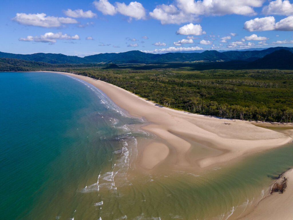
Some things only make sense from above: the shape of a block, how a building sits in its landscape, how far a site is from the beach or the highway. Our aerial photography gives you that view in sharp detail, ready for brochures, websites, reports and presentations.
We shoot from low oblique angles that feel natural through to straight-down overhead shots, and plan each flight around the light, tides and weather so your photos look their best.
Who we photograph for
Aerial photos for Cairns businesses and landholders
Construction & development
Commercial & industrial
Farms & acreage
Tourism & hospitality
Councils & community
Real estate
What you receive
- A curated set of edited, colour-corrected images
- Full-resolution files for print and web-optimised versions for your site and social media
- Optional labels, boundary lines or annotations on request
- Delivery by secure download link
Flying legally in Cairns
Large parts of Cairns are within controlled airspace around Cairns Airport, and much of the coast sits next to national parks and the Great Barrier Reef Marine Park. As a CASA-certified operator (ReOC 7395), we check the airspace and permissions for your location before quoting, and arrange the approvals needed to fly safely and legally.
Aerial photography FAQ
How high can you fly for aerial photos?
Under CASA rules drones generally fly no higher than 120 metres (400 feet) above ground level. For most property, site and landscape photos the best angles are well below that, so the height limit rarely restricts the shot.
Can you photograph near Cairns Airport?
Often, yes. Many Cairns suburbs are in controlled airspace, where recreational flying is restricted. As a certified operator we can apply for the airspace approvals required. Tell us the address and we will confirm what is possible and how much notice we need.
What happens if the weather is bad?
Strong wind, rain and low cloud are common in the wet season. We watch the forecast closely and only fly when it is safe and the light will do your site justice. If conditions are not right, we agree a new date with you.